Geo-Located Ethnic Forced Displacement Dataset (GeoEFD)
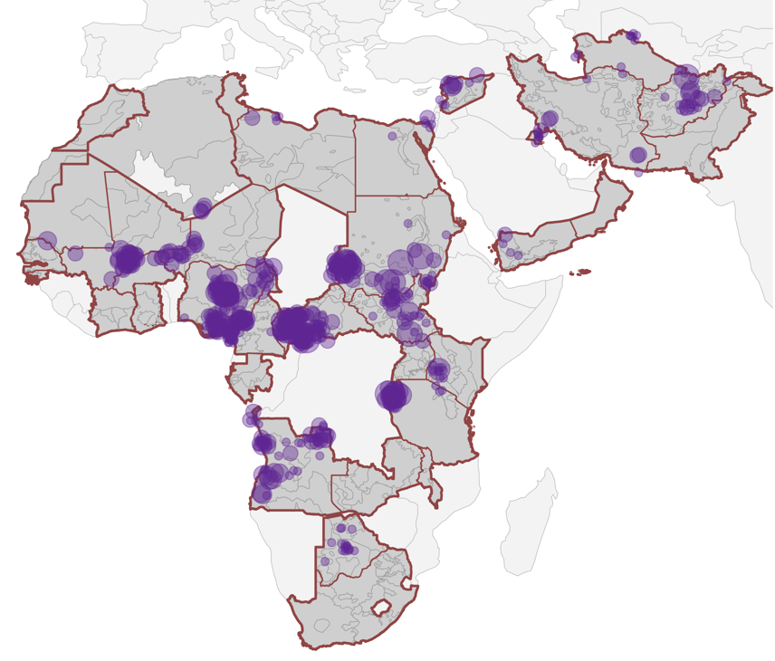
Leading a coding team at ETH Zurich, I develop the first geo-located dataset on ethnic cleansing at the village level across Africa, the Middle East, and Asia (1990–2021).
The GeoEFD provides researchers and policymakers with the most comprehensive data on events of ethnic cleansing and their subnational locations.
Ethnic cleansing events involve the systematic use of armed force with the intent to permanently remove members of an ethnic group from a specific territory.
The dataset makes two contributions:
Measures the onset, duration, and location of ethnic cleansing events, with the highest spatial precision at the village level.
Identifies target groups and perpetrators, as well as perpetrators’ strategies and justifications for ethnic cleansing.
The dataset provies the empirical basis to study where ethnic cleansing occurs and how it transforms affected locations over time.
It can be leveraged by researchers, public institutions, and policymakers to answer questions like:
• Why do some ethnic groups become targets of forced displacement, while others do not?
• Do the settlement patterns of ethnic groups affect their risk of becoming forcibly displaced?
• What are the social and political consequences of ethnic cleansing for local communities?
• Does ethnic cleansing make the onset and recurrence of conflict more likely?
• How do perpetrator narratives for ethnic cleansing shape conflict risk and post-conflict recovery?
The data collection is accompanied by a codebook and detailed coding atlas. Coding material is available upon request. Data release is planned for Summer 2027.